SELECT RESEARCH ACTIVITIES Click on orange titles for more info! Competitive Grants
Click on orange titles for more info!
2. FIREGUARD: Monitoring Forests at the Management Unit Level for Fire Prevention and Control
3. SITHON: Application and Evaluation of Telematics Methodology on Prompt Detection, Reporting and Monitoring of Forest Fires
4. INCENDI: Thematic Mapping for Forest Fires - Sensitization and Information of Students and the General Public
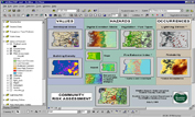
5. FULBRIGHT FOUNDATION: The Social Context of Forest Fire Management on the Islands of Lesvos, Chios and Samos in Greece
6. LATSIS FOUNDATION: Mapping and 3-D Visualization of Forest Fuels using High Resolution Satellite Images and Geo-Informatics Techniques for Fire Management
7. INFODIM: Integrated Fire Fighting Management System in the Mountainous Area of the Greek-Albanian Border
8. VIRTUAL FIRE: Web GIS Platform for Forest Fire Management based on MICROSOFT® Virtual EarthTM
9. VENUS-C: Virtual Multidisciplinary Environments Using Cloud Infrastructures
10. AEGIS: Wildfire Prevention and Management Information System
Applications & Outreach
Automated Hazard Protection
Fire Danger Rating
RAWS Network
Miscellaneous
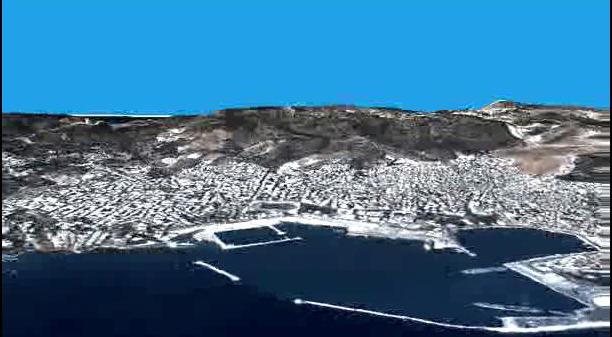
Mytilene City Overflight
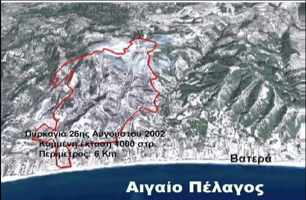
Vatera Fire Overflight
Maps of Lesvos Island for Civil Protection
Maps of Chios Island for Civil Protection
Maps of Samos Island for Civil Protection
Maps of Ikaria Island for Civil Protection
Map Booklets for Fire Staff
Maps for Schools & the Public
Aegean Wildfires
Catastrophes in Heritage
GIS & Fire Training
Cartographic Modeling Course
Geoportal of Natural Disasters
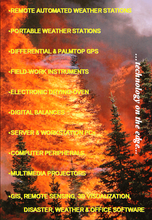
Specialized Apparatus


.JPG)

.JPG)